-
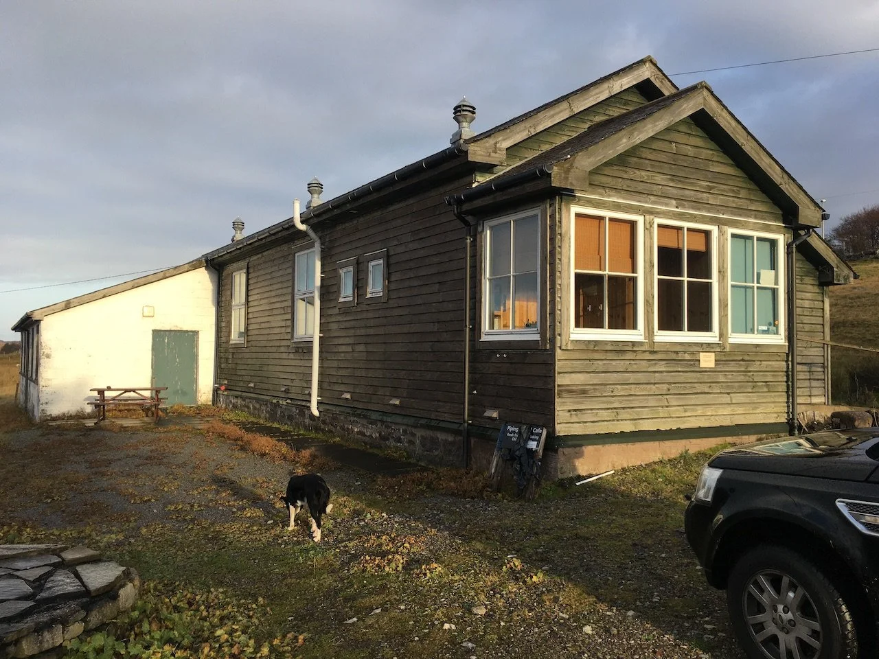
![Culnacraig]()
Culnacraig /Cul na Criege (back of the rock)
The coastal paths circumventing Ben Mor Coigach and linking to the east made Culnacraig a key entry point to the Aird of Coigach. These historic routes carry the memories of drovers, the faithful going to worship, warnings of imminent eviction notices and posties bringing the news.
Photo©Seoras Burnett
-
![]()
Badenscallie Bad an Sgalaidh (place in the hollow)
Scene of crofter resistance against eviction in the early 1850s. The resistance was notable for three reasons: firstly, it was successful; secondly, it was led by women. and finally the coordinated nature of the campaign and the publicity it received led directly to crofter land rights being secured in the Crofting Act. Local action leading to national change.
Image©Julia Campbell
-
![]()
Polglass (old drill hall)
Over 100 years ago the young men of the 4th Seaforth Highlanders and the Lovat Scouts trained in this drill hall before leaving to fight in the ‘Great War’. It’s a perfect starting point for exploring the Achlochan coastal path
Photo©Seoras Burnett
-
![]()
Achiltibuie Ach’ ‘Ille Bhuidhe ( field of the yellow haired lad)
Halfway to the shore lie the ruins of the White House (an Tigh Geal), so called because it was the first lime mortared and harled house in the area. Above the road are numerous hut circles. Amazing to think about over 3000 years of people living and working in this area
Image©Julia Campbell
-
![]()
Fox Point /Rubha a’ Mhadaidh Ruaidh
From Fox Point there are stunning views of the Summer Isles including Tanera Mor which was the site of an important herring fishery. The headland also boasts a 19th century salmon bothy, one of at least six in the Coigach area which supported inshore salmon fishing, still active up to the 1990s
Photo©Seoras Burnett
-
![]()
Old Dornie (An t-Seann Dòrnaidh) Dòrnaidh is a fist-shaped rock
The low light of the long summer gloaming picks out the distinctive lazy bed furrows on Isle Ristol. Once home to half a dozen families and a failed herring station venture it’s now a Scottish Wildlife Trust nature reserve. It can be reached across a causeway at low tide.
Photo©Seoras Burnett
-
![]()
Reiff (An Rìof) submerged rock
Once a much more heavily populated place, this land was the scene of bloody internecine conflict in the 16th century. Walk beyond the Loch of Reiff to find the remains of earlier settlement and be rewarded by stunning views of wild open spaces.
Photo©Seoras Burnett
-
![]()
Achnahaird (Ach na h-Àirde) field on the brae
Hundreds of years ago fishermen hauled their boats onto the magnificent sandy beach. Historically the most populated area of Coigach, many finds testify to human activity from the Iron Age to pre-crofting farms. The view west to the hills of Coigach and Assynt is arguably one of most stunning in Scotland.
Image©Google Maps
-
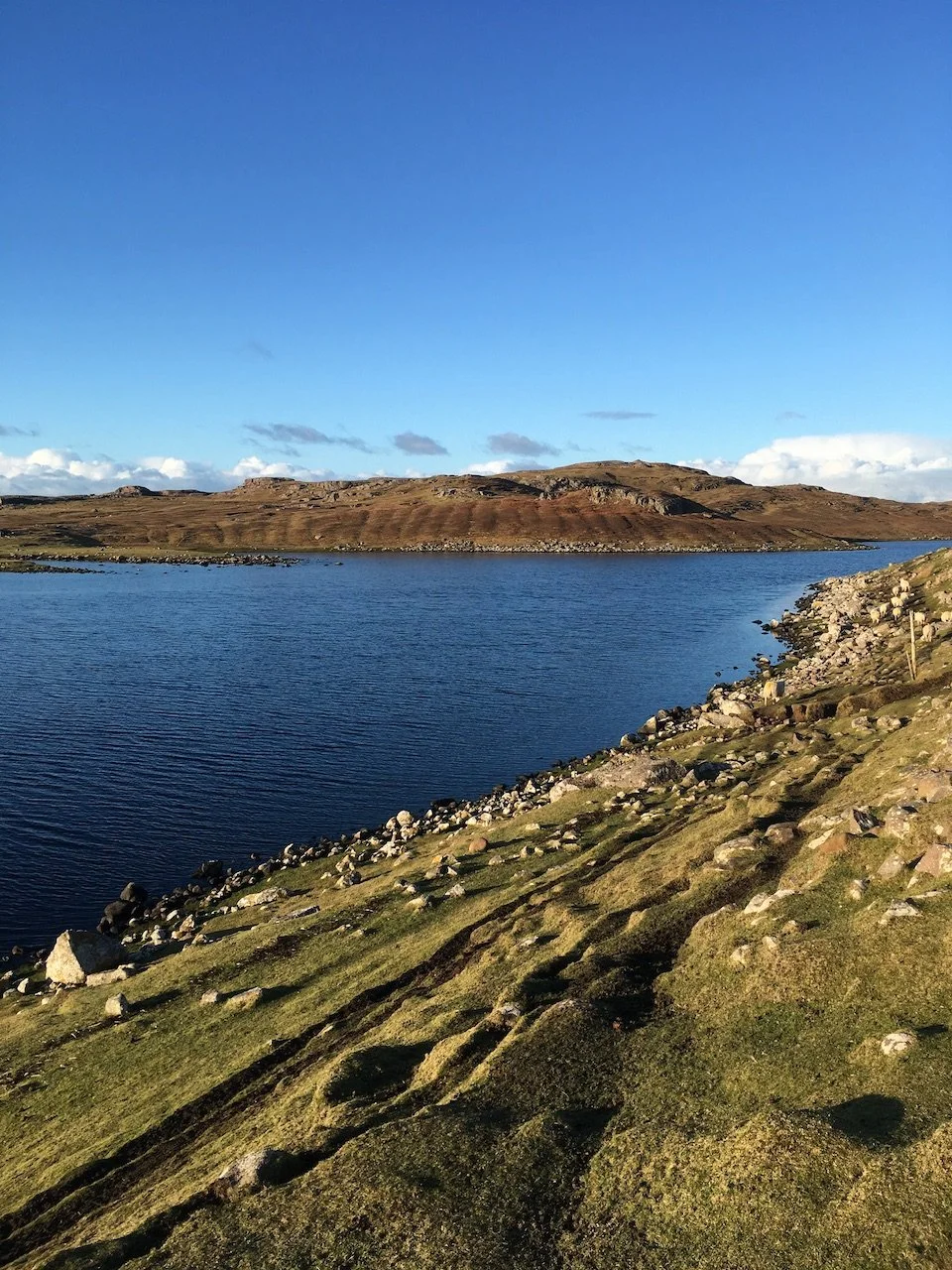
![]()
Loch Raa
Raa junction is the modern gateway to the Aird of Coigach. Turn left or right into a land steeped in history, all set in the most stunning landscape. The low lying coastal plain allows uninterrupted views west to strangely shaped mountains erupting from the moorland and south to the peaks of Wester Ross.
Photo©Ann Marie Firth Bernard
-
![]()
Inverpolly Inbhir Pollaidh
Until the early 19th century the area linking Coigach and Assynt was home to multiple farmsteads and a thriving population which in one form or another had been living here for millennia. The move to large sheep farms drove the people from the land, to either emigrate or be resettled in marginal coastal townships.
Map©Ordnance Survey 1910